


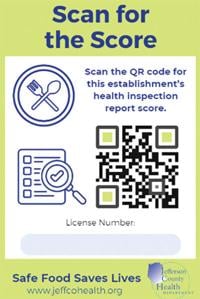


Featured Top Story
During the week of July 19, the Jefferson County Health Department inspected 47 food establi…

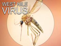
Featured Top Story
On July 22, adult mosquitoes collected from a trap site in the city of De Soto tested positi…